TP 4B2 Decoded: What Brokers Won't Tell You
In this story
Walk into any Dholera property conversation and you’ll hear a strange language: TP2A, TP 4B2, HAC, FP number. To newcomers it sounds like code. To experienced buyers, it’s the most important information on the table. The Dholera TP schemes are the blueprint that decides what gets built where, and when.
Why should you learn this jargon? Because two plots a few kilometres apart can have completely different futures. One might sit in an active scheme with roads already laid. Another might be in a scheme planned for the 2030s. Same city, very different timelines.
So let’s decode it, one scheme at a time, and see why sub-zones like TP 4B2 get so much attention.
A quick primer. Dholera Special Investment Region covers about 920 sq km. Rather than develop it all at once, planners split the region into six town planning (TP) schemes, each a large chunk of land with its own layout of roads, zones and public spaces. Most schemes are further divided into sub-schemes, such as TP1A1 or TP4B2, so they can be developed in phases.
Under land pooling, owners inside a scheme give up part of their land for roads and public use, and get back a reshaped final plot (FP) with road access and a defined zone. That’s why every serious plot inside the SIR is described by its TP scheme, FP number and zone.
The Six Dholera TP Schemes at a Glance
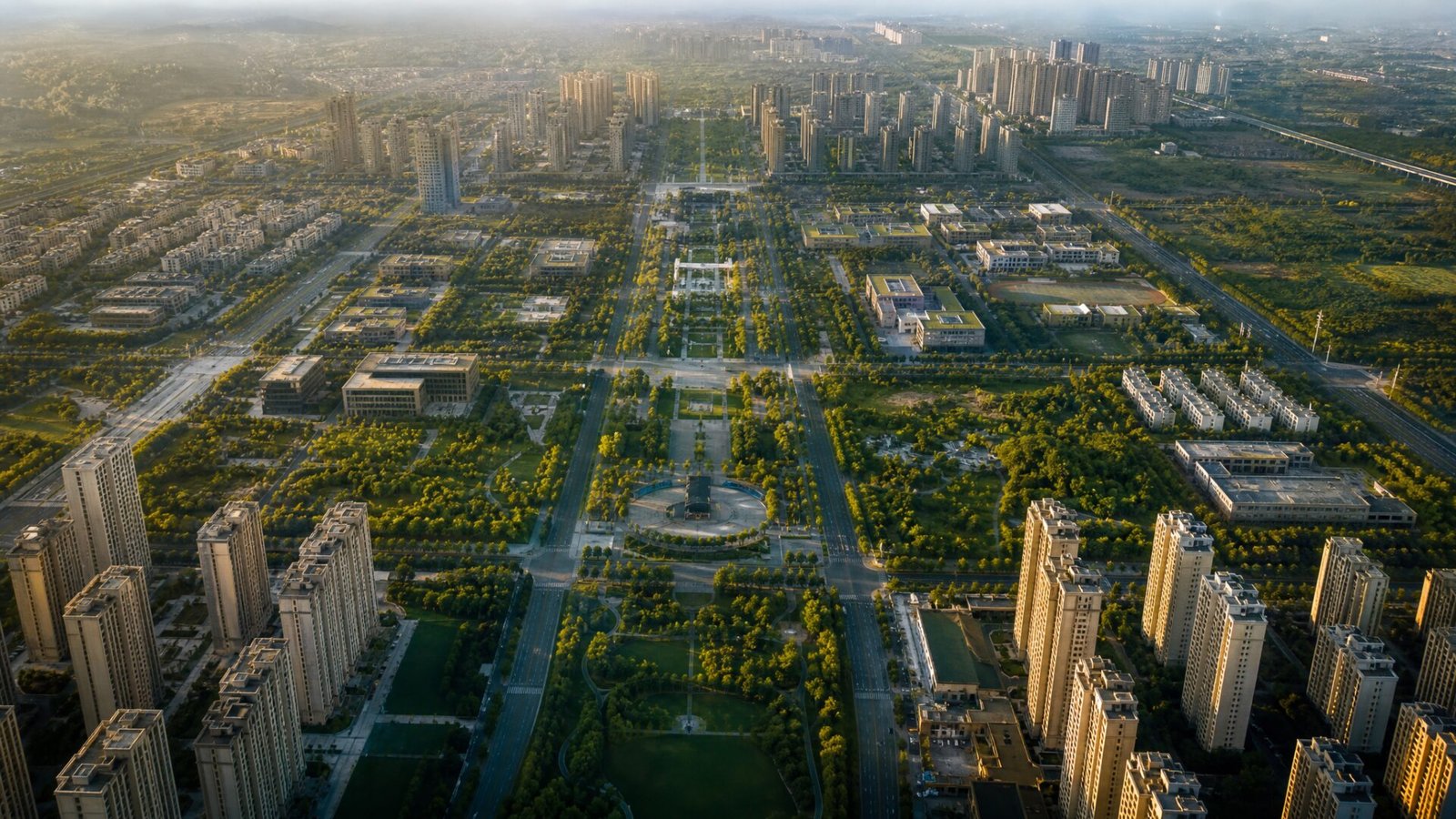
Based on published summaries of the draft plans, here’s how the Dholera TP schemes are organised:
- TP1 (TP1A1 to TP1A5 and TP1B): a mix of residential, industrial, knowledge and IT, green, solar and sports or entertainment zones.
- TP2 (TP2A and TP2B1 to TP2B6): residential, High Access Corridor, city centre, green and public facility zones. TP2A has been activated.
- TP3: residential, High Access Corridor, city centre, green and public facilities.
- TP4 (TP4A, TP4B1 and TP4B2): similar urban zones, with TP4A already developed and hosting operating industries.
- TP5 and TP6: later phases, with development expected further out.
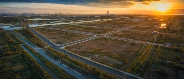
All six draft schemes have been notified, with final work progressing scheme by scheme. The first fully serviced zone, the 22.5 sq km activation area, is where you’ll see finished roads, drainage and utilities today.
Why schemes are split into sub-schemes
Developing hundreds of square kilometres at once would be impossible to fund and manage. Splitting the Dholera TP schemes into sub-schemes lets planners finish one area properly, attract investors and residents, then move to the next. For buyers, it means the sub-scheme matters as much as the scheme.
Why the Dholera TP schemes matter more than the address
In most Indian cities, a locality name tells you a lot. In Dholera, it tells you very little, because the whole region is being built from scratch. What really tells you a plot’s future is where it sits in the Dholera TP schemes: which scheme, which sub-scheme, which zone and which phase. Two plots in the same village can land in different schemes, with different zones and timelines.
That’s why experienced buyers start every conversation with the scheme map, not the brochure. The Dholera TP schemes are public planning documents, so you can check them yourself instead of relying on a salesperson’s description.
Decoding the Zones
Each final plot sits in a zone that decides what you can build. The most common ones:
- Residential: homes, from plotted villas to apartments, with supporting shops and schools.
- High Access Corridor (HAC): land along major transport corridors, meant for denser, mixed-use development with commercial and residential uses.
- City centre: the busiest, highest-density commercial hearts of each scheme.
- Industrial: factories and logistics. Draft plans say only non-polluting industries are allowed in Dholera SIR.
- Knowledge and IT: campuses, offices and research.
- Green and public facilities: parks, hospitals, schools and utilities.

What makes the High Access Corridor special
HAC land sits along the main transport spines, including the corridor planned for the expressway and a future metro. Because more people pass through these corridors, planners allow more intensive, mixed-use development there. That’s why HAC plots are often priced at a premium, and why they are among the most talked-about parts of the Dholera TP schemes.
Spotlight on TP 4B2
TP 4B2 is one of the sub-schemes of TP4, a scheme whose first part, TP4A, is already developed with industries in operation. TP 4B2 includes residential, High Access Corridor, city centre, green and public facility zones, and sits in the planned expansion path of that working industrial area. That combination of an active neighbour and a full urban mix is why it attracts attention.
But there’s an important caveat. Published summaries place TP 4B2 among the later-phase sub-schemes, with development expected well into the future. So what should a buyer take from that?
- Time horizon: TP 4B2 is a long-term play, not a build-next-year plot.
- Zone check: an HAC or city centre plot in TP 4B2 is very different from a green or public facility plot. Always confirm the zone from the official map.
- Price discipline: premium pricing should reflect real zone and location advantages, not just the scheme’s name.
Questions to ask about any TP 4B2 plot
If someone offers you land in TP 4B2, ask them to show you three things: the exact FP number on the official map, the zone for that FP, and the source of any timeline they quote for roads and utilities. Then compare the price with plots in active sub-schemes nearby. If the premium is large and the timeline is long, make sure you are comfortable waiting. Patience is often rewarded in planned cities, but only when you buy with your eyes open.

How to Use the Dholera TP Schemes When Buying
Here’s a simple way to read any plot offer in Dholera:
- Step 1: ask for the TP scheme, sub-scheme and FP number in writing.
- Step 2: find that FP on DSIRDA’s published TP scheme maps and confirm the zone.
- Step 3: check whether that sub-scheme is active (roads and utilities under way) or planned for later.
- Step 4: compare the price with similar plots in the same zone and phase, not just with “Dholera” in general.
- Step 5: have a lawyer verify the title, land records and any conditions on the plot.
For a deeper look at inside-versus-outside land, read our guide on core vs fringe Dholera land.
Active schemes vs future schemes
Plots in active schemes usually cost more because roads and utilities are closer to ready. Plots in future schemes can be cheaper, but you trade money for time. There’s no single right answer. What matters is that your expectations match the scheme’s real timeline.
Common Myths About the Dholera TP Schemes
- Myth: every plot in the SIR is ready to build on. Only plots in active, serviced areas have roads and utilities today. Many Dholera TP schemes are still being developed.
- Myth: HAC means guaranteed high returns. HAC zones allow more intensive use, but returns still depend on timing, location and the wider market.
- Myth: the scheme name is enough. The FP number and zone are what count. A green or public facility plot can sit right next to a city centre plot in the same scheme.
- Myth: the plan never changes. Draft Dholera TP schemes can be revised before they are finalised, so always check the latest official version.
Clearing up these myths early saves buyers a lot of disappointment. The Dholera TP schemes are a powerful tool, but only when you read them carefully and match them to your own goals and timeline.
The Bigger Picture
The Dholera TP schemes are what make Dholera different from ordinary land markets. Instead of growing randomly, the city is being filled in according to a plan, scheme by scheme, with big anchors like the Tata semiconductor fab, the expressway and the airport pulling growth along. Learn the plan and you can see where the city is heading years before it gets there.
For official background, see the Dholera Special Investment Region overview. If you’d like a walkthrough of the maps, our team explains TP schemes on YouTube, and you can always visit Gulfin Aerocity to see the region for yourself.
Dholera TP Schemes: FAQs
How many TP schemes are there in Dholera SIR?
There are six town planning schemes, TP1 to TP6, most of them divided into sub-schemes such as TP1A1, TP2A or TP4B2.
What is TP 4B2 in Dholera?
TP 4B2 is a sub-scheme of TP4 that includes residential, High Access Corridor, city centre, green and public facility zones. It is generally seen as a later-phase area, so it suits long-term buyers.
What is the High Access Corridor (HAC)?
HAC zones sit along major transport corridors and allow denser, mixed-use development, which is why HAC plots often command a premium.
Which Dholera TP schemes are active today?
The activation area and schemes such as TP2A and TP4A have seen the most development. Check DSIRDA’s latest updates for the current status of any sub-scheme.
How do I check a plot's TP scheme and zone?
Ask for the TP scheme and FP number in writing, then match it to DSIRDA’s published TP scheme maps and have a lawyer verify the documents.
Follow Gulfin Developers
Site walkthroughs, Dholera updates and new launches, first on our channels.
Recent Posts